 Kestrel EFB
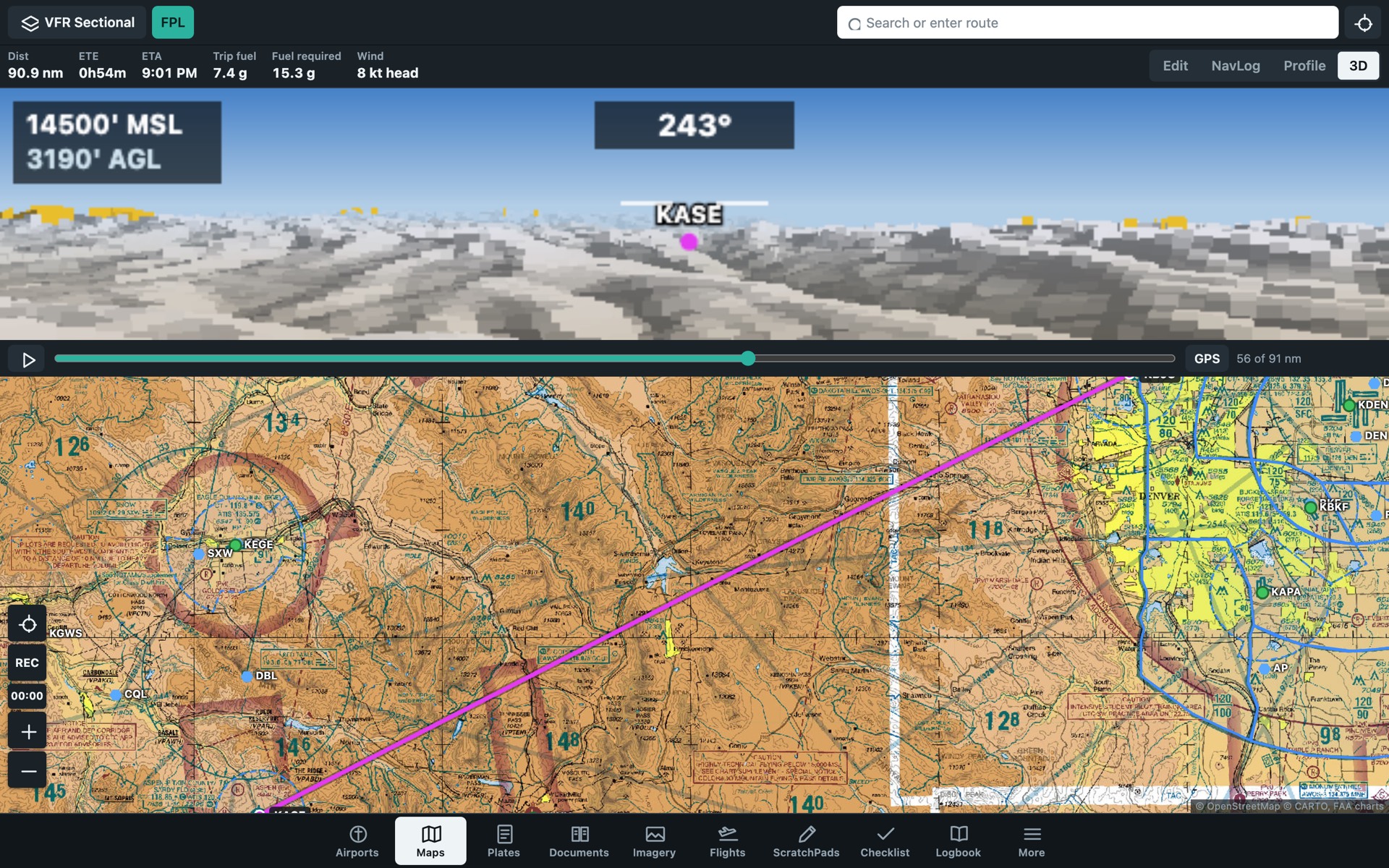
Maps
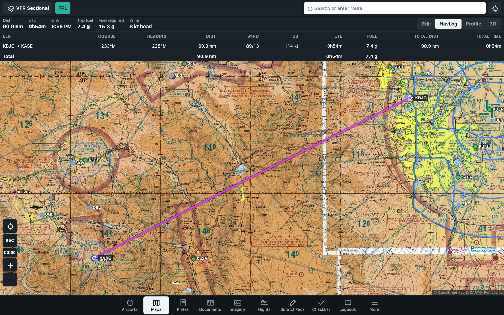
- FAA VFR sectional, VFR terminal, IFR low and IFR high charts
- open flightmaps VFR charts for about 20 countries in Europe and southern Africa
- Airspace, obstacles and terrain hazard coloring
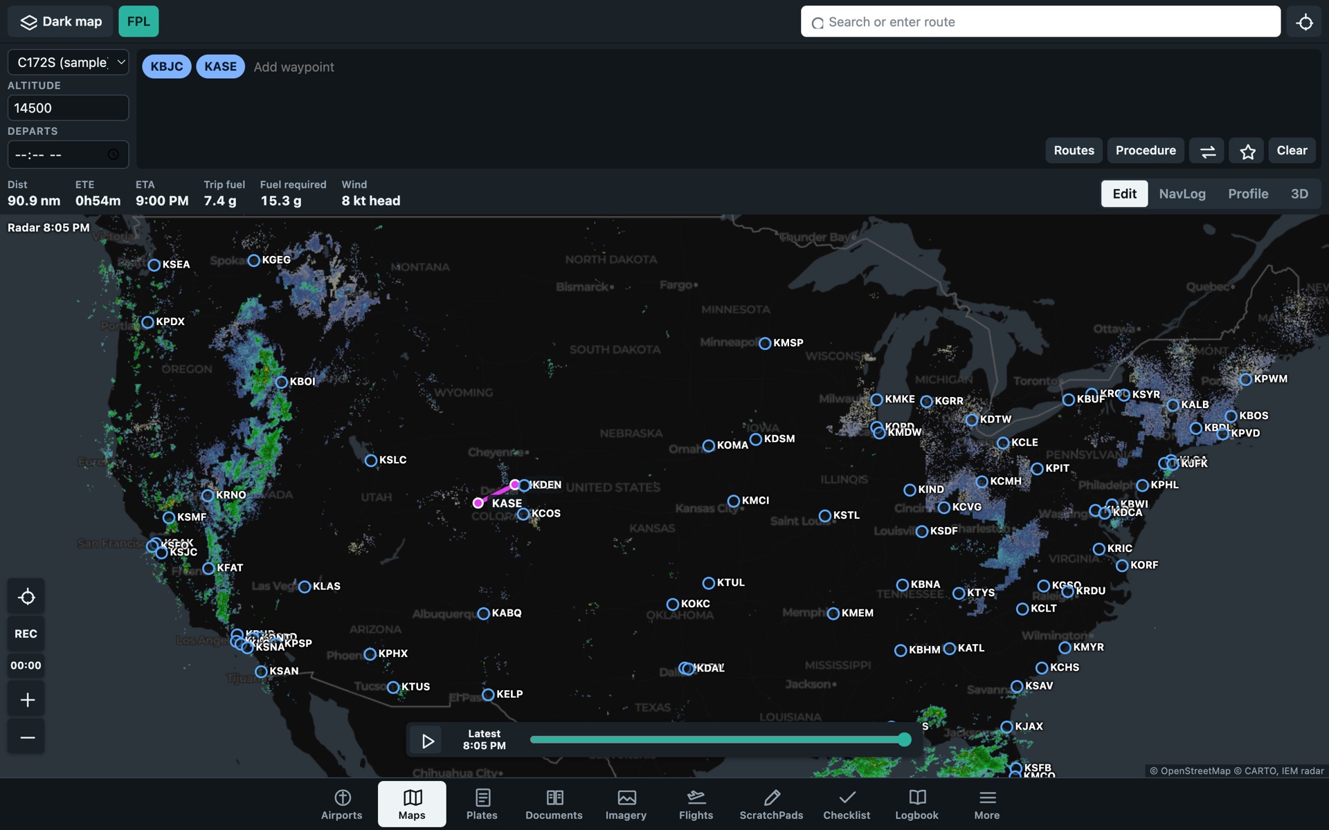
- Animated radar, flight categories, SIGMETs and advisories
- Radar, SIGMETs and world airspace outside the US
- Live traffic
- Runway and taxiway charts when you zoom in
- Dark, light, topographic and satellite base maps